What “smart city” means for 2021: How digital twins, AI and other innovations drive smart transformationWhat “smart city” means for 2021: How digital twins, AI and other innovations drive smart transformation
What “smart city” means for 2021: How digital twins, AI and other innovations drive smart transformation
June 16, 2021

Written by Richard Budden
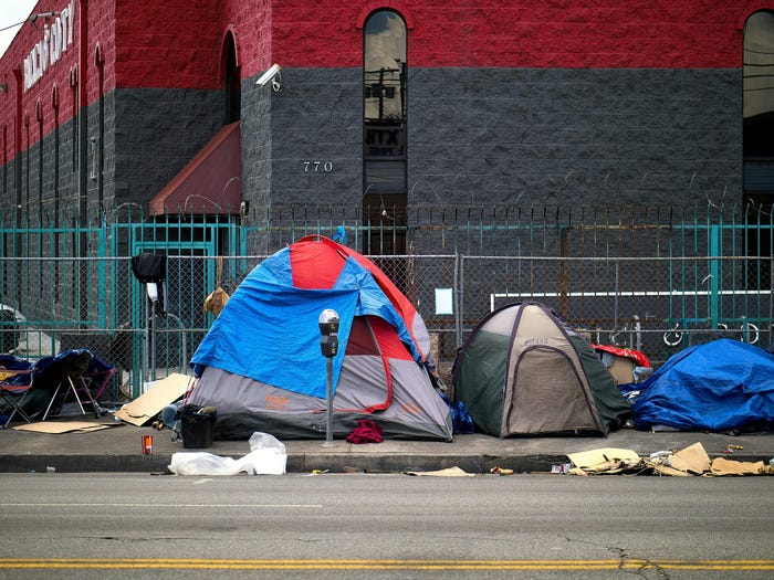
As U.S. cities feel the strain of urban growth—rents rising faster than incomes, more than half a million people homeless, persistent racial and social equity issues—some are making much-needed strides. They are becoming what McKinsey Global Institute defines as a “smart city,” a place where technology and data are used to enable better decisions that improve quality of life.
A critical condition for any city has been an understanding of the physical location that determines what it is and what it can become. That is why the anchor of urban planning systems is the science and practice of geography. For the past generation, city agencies have adopted geographic information systems (GIS), initially as systems of record for property management, infrastructure, transit, and public safety. Over the past decade, they built on this foundation with embedded sensors, mobile devices, high-speed wireless connectivity, exponential data and advanced analytics.
The result is the potential for a truly smart city, not only in terms of affordability and convenience, but also in terms of deepened social bonds.
A handful of cities and communities are aspiring to this vision. They are employing sensors for real-time inputs to data hubs, artificial intelligence (AI) for faster applications, multi-layered social demographic data, 3-D models to build and analyze their city’s digital twin, and other tech innovations that we’ll explore here.
3-D models and the digital twin
In Boston, planners have initiated 103 major projects that include 8,000+ new residential units. They started with a 3-D smart map for buildable lands analysis, including permitting requirements and environmental impact.
They used these 3-D maps to create a digital twin—a model of the city encompassing buildings, infrastructure and vegetation. Urban planners iterate projects with the digital twin by adding designs and data layers to explore and optimize development.
The digital twin can also provide insight on the condition of specific neighborhoods and buildings—down to the floor or room levels, and up into the airspaces above existing structures including rooftops. A 3-D map or digital twin makes all this information available to managers, first responders, transit workers, healthcare providers, local businesses, educators and, most importantly, residents.
By sharing this data from the digital twin via a dashboard or web app, city leaders can provide important information to the public.
Real-time dashboards
Near Atlanta, leaders in Cobb County use a GIS-driven dashboard to manage the flow of vehicle and pedestrian traffic around major venues by analyzing road closures, accidents and real-time congestion. They also apply AI with machine learning to monitor and adjust traffic signals.
In Gresham, Ore., city staff created a smart asset management system, including a location-based registry of public service assets. This effort supports many city departments to optimize everything from street reconstruction projects, traffic counts and the city’s hydrant flushing program, to asset repair and replacement, expense management and street repaving.
IoT sensors and AI
Smart cities focus on data-driven performance. Often they leverage data streams from IoT sensors and mobile devices embedded in the city’s infrastructure, vehicles and buildings. This data can be analyzed with deep learning and other forms of AI. The result is not only improved mobility (such as the adaptive traffic signals in Cobb County), but a broad shift to real-time decision making.
In Coral Gables, Fla., city leaders established a Smart City Hub that brings together key data, high-speed communication networks, and IoT-powered devices such as pedestrian sensors deployed on the city’s Giralda Plaza promenade. This modern approach is transforming how city officials and residents communicate while aiding in public safety efforts such as hurricane preparedness and supporting sustainability goals.
Collaboration platforms and civic inclusion
Smart cities engage with constituents from the start, identifying citizen priorities, empowering groups with special concerns and needs and working to improve social equity.
Oakland’s Department of Race and Equity—the first department of its kind in California—uses location technology to inform a racial equity impact analysis on the city’s decisions and policies. Similar to the way cities have used environmental impact analysis for a generation, Oakland’s racial impact analysis asks, what will the impact of this decision be on equity?
Into 2021 and beyond
Challenges remain. Population growth keeps pace with advances in urban development. Yet, even with shared, real-time data and the power of visualization, ambitious civic projects require collaboration among multiple agencies and stakeholders. But, by applying more advanced technology tools, leaders can reinvigorate that collaboration to achieve smarter, more sustainable cities.
Richard Budden is Esri’s general manager in Europe, supporting customers, distributors and partners across the region. Providing subject matter expertise and thought leadership on topics including smart cities, transportation, infrastructure, and sustainability, Budden helps organizations to understand the value that location technology can bring to their business. Budden is located in The Netherlands but prior to this he was based in Dubai, UAE, where he led Esri’s government and smart cities business across the Middle East and Africa.


